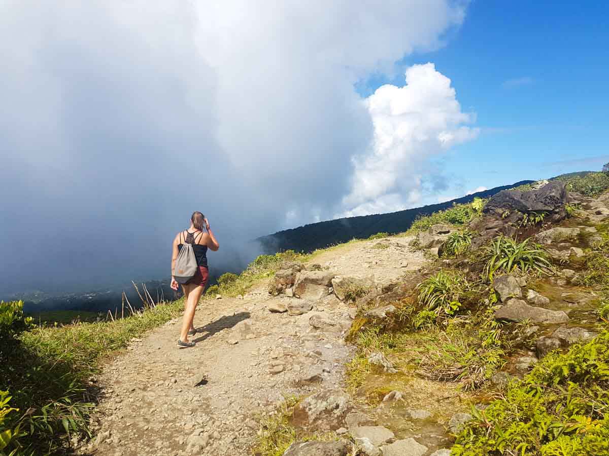
The Caribbean islands are perfect travel destinations, not only because of the wide sandy beaches and rum cocktails but also because of the amazing trails that you can discover in all sorts of landscapes. La Grande Soufrière trail in Guadeloupe is a perfect example of this, and one of the more unique trails because it climbs a volcano.
If you’re an active traveller, you’ll love this walk to the highest mountain peak in the Lesser Antilles. It’s a perfect day trip to add to your schedule after enjoying some watersports and sunbathing. And in fact, climbing La Grande Soufrière is one of the best things to do in Guadeloupe.

How to get to La Grande Soufrière trail?
You can reach the starting point of the trail in a rented car. Navigate to the little town called Sainte-Claude. There you will see signs leading you to parking des Bains-Jaunes. Local people enjoy taking a walk to the peak, especially on weekends. So I recommend you to come to the parking as early as you can in the morning, so you can find a comfortable place in this small area.
What does the trail look like?
Your adventure starts next to Des Bains-Jaunes, which means Yellow Baths. As you can imagine, it’s a place where you can enjoy some natural SPA in outdoor pools with sulfur water. After a hike, you can come back to this place and relax your muscles in a refreshing bath.
But here the stairs begin. Literally. The first part of the journey leads up through the stairs made out of stones and is called Pas du Roy. You will be climbing through a dense jungle until you reach the next important point on the route.
And here is the place where you lost your breath. At the moment when you leave the green staircase, you step into the broad plateau of La Savanne à Mulet. And in the same moment, the whole glory of the volcano stands up in front of your eyes. The huge mountainside dominates the landscape. And gives you shivers of adventure.
Here’s an interesting fact: La Savanne à Mulet used to be parking years ago. But it was destroyed during an earthquake in 2004. Since then the parking was moved to its current location, so the trail became longer.

Climbing the volcano
After a short break, you can continue your hike. Here you enter the proper trail which is called Le Chemin des Dames. From here, according to the signs, you’ve got 1 hour 15 minutes of walk to the peak. Le Chemin des Dames means exactly the Ladies’ Path. On this part of the trail, you will climb 300 meters in total. The path is challenging but very enjoyable and leads through the green mountainside. Here and there you need to climb some stones and wooden steps. But even children are being seen on this trail, so it’s definitely accessible for less intermediate hikers.
From the path, you get the opportunity to admire the wonderful views of Guadeloupe. When the weather is advantageous, you can even see the Dominica island far away on the horizon.
But this is also the moment when you can literally feel you’re climbing a volcano. La Soufrière is still active and was close to an eruption in 1976. But in its current state, you won’t see any lava flowing on the mountain. So if you’re not so brave to climb to the volcano spitting magma but still want to feel adventurous and step on the top of a stratovolcano, this is definitely a trip for you. Although here, while you’re closer to the peak, you can already scent a specific smell of sulfur.

Reaching the peak of La Grande Soufrière
The last 50 meters up on Le Chemin des Dames are the most challenging. You need to climb some stairs and high rocks to reach the peak. Because of tropical humidity in the air, the stones can be covered with mud and slippery, so be careful and remember to wear proper shoes.
The closer to the peak you get, the more natural monuments you can discover. On your way, you can see crevices and landslides that have been created because of eruptions and earthquakes. The most iconic ones are La Grande Faille and Portes de l’Enfer.
And this is how you reach the highest peak in Lesser Antilles – La Découverte. You are at the height of 1467 meters, and if you’re lucky and the weather is good, you get a panoramic view of the island. But as you might know, the weather in the mountains is sometimes moody. So very often, the top of the mountain might be immersed in dense clouds. But don’t worry, the trail is nicely highlighted with yellow signs, so you won’t get lost.
The last point on the trail is to see the crater of the volcano. Currently, it’s covered by greenery, so you cannot see the bowel of the mountain. Anyway, it’s still a nice place to discover.
After a successful hike, you can come back to the starting point and get a deserved chilling bath in Des Bains-Jaunes.

Need to Know
Map
Length: 6 km
Time: 3 – 5 hrs
Grade: Moderate
Style: Return
Region: Guadeloupe, the Caribbean
Park: Parking des Bains-Jaunes
Closest Town: Sainte-Claude
Path Taken: Des Bains-Jaunes, Pas du Roy, La Savanne à Mulet, Le Chemin des Dames, La Découverte
Car Access: the small forest parking is located close to the Bains Jaunes. Once all the places are taken, cars used to park along the road leading to this place.
Nearby: Basse-Terre, the official capital of the island; Musée du Café in Vieux-Habitants; La Grande Anse beach
Have you visited Guadeloupe? Hiked La Grande Soufrière? If you have any stories, updates or corrections, please let us know by commenting below.


