Date of Walk: 19/04/2009
Length (km): 3 km
Time (hrs/min): 1 hr
Grade:Moderate
Region: South-West Victoria
Park: Great Otway National Park
Closest Town: Lavers Hill
Ascent: Unknown
Maximum Height: Unknown
Map: Not needed (once you find the carpark, you can’t go wrong)
Getting There: From Lavers Hill, follow the Colac-Lavers Hill Road east until you see a turn-off to the right (south) to Beauchamp Falls and Hopetoun Falls. After a short distance down this road there is another junction where you will need to turn left to continue on to Beauchamp Falls. The Beauchamp Falls carpark is signed from here.
I found the map on the ParkWeb Park Note: Great Otway National Park and Otway Forest Park – Kennett River to Princetown very helpful but you may not need it if using my directions.
Comments: When I started this walk, my first thought was that it wasn’t going to live up to my expectations based on my previous Otways walks. The first stretch of track borders a harvested pine plantation with only a narrow stretch of remnant vegetation in-between, so it is unusually bright and infested with blackberries and other weeds. This section is also very steep so I was beginning to wonder what I’d gotten myself into.
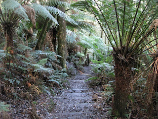
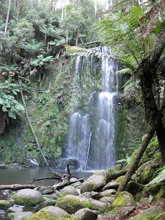
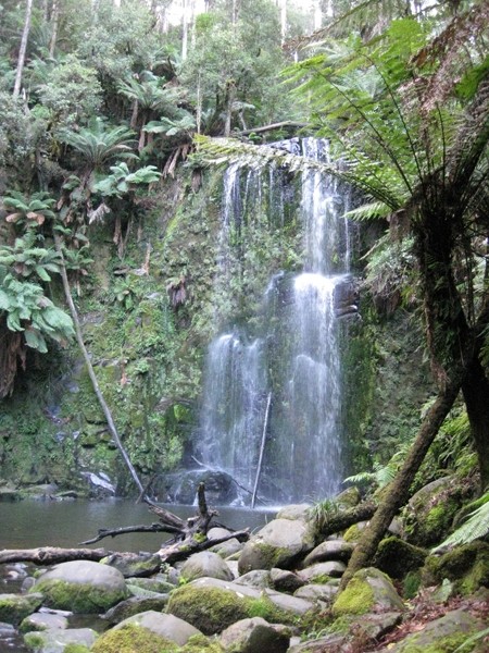
However, as the track descends into a gully to meet a creek, everything becomes dark and damp and the rainforest vegetation becomes more dominant. From here, the track follows the creek and leads to a short section of boardwalk, ending at the wooden stairs down to the base of the falls. Careful on these stairs as they were extremely slippery. Not far from the base of the stairs there is a viewing platform at the base of the falls. This is yet another amazing spot as you can see from my photo below. Return along the same track.
 The wooden stairs near the falls
 Beauchamp Falls
Exploring the Great Ocean Road?
You won’t see the best sights from your car. Get the definitive guidebook, featuring the 25 best walks in the area with detailed instructions and maps.


