Date of Walk: 08/02/2010
Length (km): 6.7 km
Time (hrs/min): 2 hrs 30 mins
Grade: Moderate / Steep
Return / Circuit / One-Way / Partial Circuit: Partial Circuit
Region: Melbourne
Park: Dandenong Ranges National Park
Closest Town: Kalorama
Ascent: approx. 316 m (according to MapMyWalk.com)
Maximum Height: approx. 542 m (according to MapMyWalk.com)
Map: Highlighted extract from ParkWeb Park Note (Dandenong Ranges National Park – Olinda).
NOTE: I couldn’t actually find any ParkWeb maps that covered all the tracks on this walk, so I’ve used the best one I could find here. Unfortunately, the beginning of the hike wasn’t covered on the map.
Further Details / Source(s): Olinda Falls is mentioned in the ParkWeb Park Note: Dandenong Ranges National Park – Olinda. This walk is #80 in Daywalks Around Melbourne (by Glenn Tempest – available in many bookstores).
Getting There: The hike starts from Mechanics Reserve which is on the Mount Dandenong Tourist Road in Kalorama. I couldn’t actually find any signs indicating where the reserve was but I parked at the Mount Dandenong Preschool and I found a sign there indicating the start of Mechanics Track (and the 2km walk to Olinda Falls). The Preschool is near the intersection of Falls Road (look out for a sign to Olinda Falls Picnic Ground) and Mount Dandenong Tourist Road.
Comments: I visited Olinda Falls back in April ’09
via a different route but much prefer this walk as it is much longer and only requires walking most of the tracks once (ie. my previous visit was a return trip rather than a partial circuit).
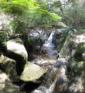
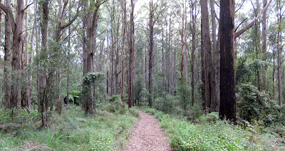
Head south-east on Mechanics Track, which follows the beautiful Olinda Creek down towards the falls. I spotted a wallaby drinking from the creek here. After about 1.6 km you’ll reach a 4-way track junction. Head right to explore the falls and then return to the junction to continue alongside the creek on Cascade Track.
You’ll soon find yourself at an unsealed public road called Barbers Road. Walk 200 metres to the right, where you’ll find the beginning of the unsigned VW Track (opposite Olinda Creek Road). Follow this steep and rocky track through much drier stringybark forest. Keep an eye out for lizards. Turn right at Bartlett Track and right again at Falls Road to make your way back to Mechanics Track. Follow this back to the car.

Flower alongside the track
(potentially a weed but looked interesting anyway)
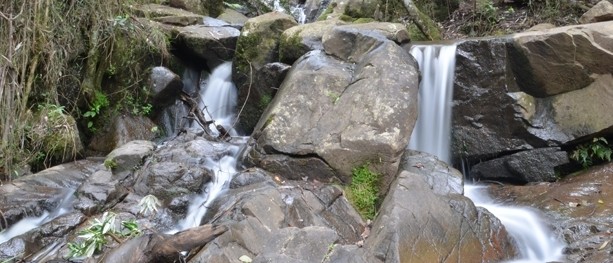
 Lower Olinda Falls
 |
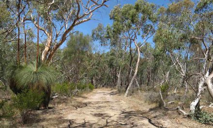
| Part of Barges Track |
UPDATE (24/02/2011): I’ve just found out (thanks to the Open Spaces Publishing Blog) that this walk can no longer be completed in the same way I have done here. If you’re mainly interested in seeing the falls you could try the much shorter Olinda Falls & Cascade Walk, or extend the walk by 2km as OSP have described on their blog:
“The northern half of VW Track has been permanently closed which means that this walk cannot be completed as described. See p.193 and use this map to continue walking down Olinda Creek Road to return via Bartlett and Barges Track. This will add at least 2km to the total distance as originally described.” – Open Spaces Publishing
When I get around to completing the walk as OSP have suggested, I will re-post this as a new walk on my blog.


Just did this walk yesterday (19/4/2014) and VW track is no longer closed, so the OSP suggested detour isn’t required any more. Was able to walk from the Barbers Rd/Olinda Creek Rd intersection down VW track to Barges Track.
Thanks for that Walker! Really appreciate you letting us know. 🙂
Cheers
Neil